
Palm Beach County ZIP Code Directory Coverage
Palm Beach County stretches from the Atlantic coast across the Everglades to Lake Okeechobee. Its ZIP geography follows mail delivery, not the county's 39 municipal governments. The official county map is the right broad reference, while the USPS tool confirms the code currently assigned to one address. The table groups verified codes by their main county areas. It does not assert a post-office station where the research did not verify one.
| ZIP | Palm Beach County Areas | Postal Type | Boundary Note |
|---|---|---|---|
| 33401, 33402 | Central West Palm Beach | 33401 standard; 33402 PO boxes | Central postal pair |
| 33403-33413 | Lake Park, North Palm Beach, Riviera Beach, West Palm Beach, Palm Beach Gardens and unincorporated areas | Mixed standard and PO-box codes | 33406, 33411 and 33413 show strong postal-city mismatches |
| 33414-33418 | Wellington, West Palm Beach and Palm Beach Gardens | Mostly standard | 33415 crosses the Haverhill and Greenacres fringe |
| 33424-33438 | Boynton Beach, Boca Raton, western Boca, Belle Glade and Canal Point | Standard plus several PO-box codes | 33428, 33434 and 33437 extend into unincorporated west |
| 33443-33449 | Delray Beach, west Delray, Lake Worth and Wellington fringe | Mixed standard and PO-box codes | 33446 and 33449 are largely unincorporated |
| 33458-33470 | Jupiter, Lake Worth Beach, Palm Springs, Greenacres, Lantana, Hypoluxo, North Palm Beach and western acreage | Standard plus legacy and PO codes | 33461, 33462, 33463 and 33469 cross municipal lines |
| 33472-33499 | West Boynton, Pahokee, Jupiter, Palm Beach, Boca Raton, Delray Beach and South Bay | Standard, PO-box and possible unique codes | Verify legacy assignments and 33499 directly with USPS |
The Palm Beach County ZIP code directory includes standard delivery codes and known PO-box codes, but some legacy or unique assignments require an address-level USPS check. Codes 33420, 33454, 33459, 33464 through 33466, 33468, 33472, and 33499 should not be given a current station name without that check. The research did not verify a countywide ZIP realignment year, so none is inferred.
West Palm Beach ZIP Code Directory Mismatches
A West Palm Beach mailing label can describe the postal route rather than the government that serves the property. West Palm Beach postal areas reach Cloud Lake, Glen Ridge, Haverhill, Greenacres edges, and broad unincorporated territory. That matters when seeking permits or code records. Palm Beach County handles those functions for unincorporated land, while an incorporated city can hold its own file.
Enter the address in PAPA and read both ZIP and Municipality. Do not choose a custodian from the postal city alone. The county Neighborhood Information Dashboard can also organize an address by municipality, precinct, districts, schools, services, and nearby road authority. Open the Neighborhood Information Dashboard before viewing its successful capture.
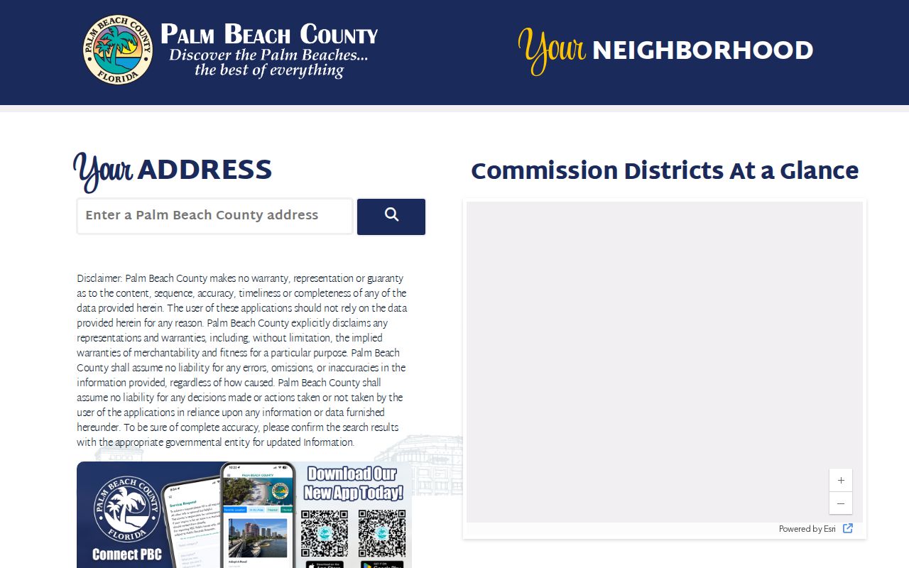
The dashboard turns one postal address into several useful local boundaries, showing why a ZIP alone is not enough.
Western Palm Beach County ZIP Code Areas
Several familiar coastal city names continue far west as postal labels. Boca Raton codes 33428, 33434, 33496, and 33498 reach unincorporated western areas outside Boca's city government. Boynton Beach codes 33437 and 33473 extend west, as do Delray Beach codes 33446 and 33484. A Lake Worth mailing label may point to Lake Worth Beach, Palm Springs, Greenacres, or unincorporated county land.
This is a geographic issue, not an error in the mail. USPS chooses the preferred postal name for delivery. PAPA records the municipality as a separate field. Pairing the two tells a researcher which address belongs in a city portal and which belongs with county PZB. Jupiter, Tequesta, and Jupiter Inlet Colony offer another shared-postal-geography example. A Palm Beach County ZIP code directory must preserve those distinctions.
Search the Palm Beach County ZIP Code Directory
PAPA Advanced Search is the main official route for a ZIP-wide parcel view. It can combine ZIP with municipality, property type, use, and value. Results describe parcels and owners, not every person who lives there. The Tax Collector address search does not advertise an open ZIP-wide browse, and the county voter self-lookup cannot browse a ZIP. Keep those limits visible in every search.
- Confirm one address with the USPS address-to-ZIP lookup. This checks current delivery geography.
- Run PAPA Advanced Search with the ZIP field. Add municipality or use when a broad code crosses local boundaries.
- Open the parcel and compare situs, mailing, PCN, legal description, sale, and map. An owner is not always a resident.
- For voter geography, use a lawfully obtained state extract or narrow records request. Protected data remains omitted.
Once the ZIP search narrows the area, the Palm Beach County street directory owns the address-by-address workflow. The ZIP code directory should not be treated as a household roster.
Palm Beach County ZIP Code Search Fields
The property roll separates several geographic ideas that are often blurred in casual searches. ZIP is a delivery value. Municipality is the government jurisdiction. Situs is the parcel's physical address, mailing is where the owner receives correspondence, and the legal description is title geography. The 17-digit PCN, also called a folio or tax ID, is the stable join key when names or delivery labels change.
| Official Field | What It Narrows | Key Caution |
|---|---|---|
| ZIP | Parcels in one postal code | Can cross municipal borders |
| Municipality | Actual local jurisdiction | May differ from postal city |
| Property type / use | Residential or other parcel classes | Still an ownership roll |
| PCN | One exact parcel | Use dashed or undashed format accepted by the portal |
| Situs and mailing | Physical parcel versus owner correspondence | Do not assume they match |
County Addressing assigns addresses only in unincorporated Palm Beach County, while municipalities assign their own. Vacant lots do not receive an address through that process. Historic research should keep the PCN and legal description even when the street or ZIP changes.
Verify Palm Beach County ZIP Codes
The USPS lookup is the authoritative check for the code attached to a current address. The county ZIP map remains better for seeing the larger pattern. Use both when an address sits near a city edge or when a legacy code appears in an old document. Do not infer that a current ZIP existed in the same form when the deed or directory was made.
Open the USPS ZIP Code Lookup before reviewing the captured search screen.
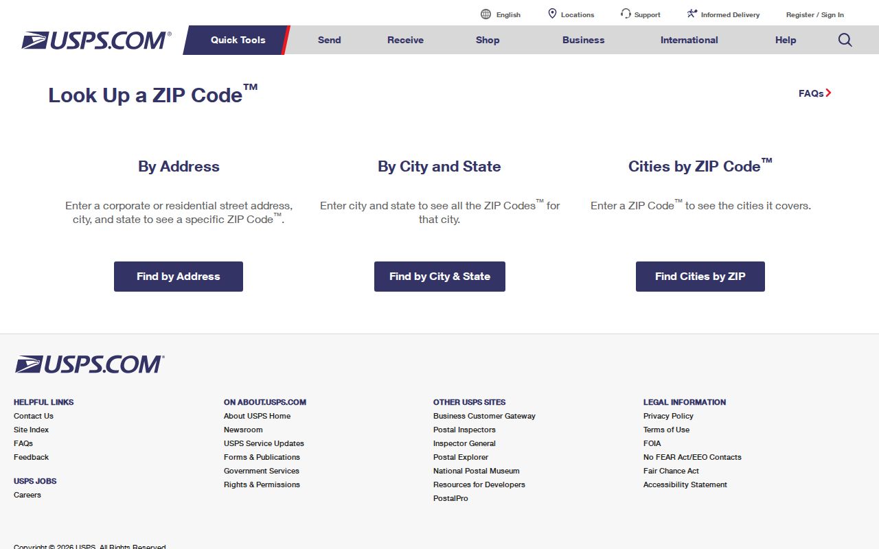
The official form checks an address or a city and state, making it the best final test for a current delivery code.
Voter Evidence in the Palm Beach County ZIP Code Directory
The Palm Beach County voter self-service tool asks for first name, last name, date of birth, and CAPTCHA. It confirms one voter's status and current election information. It cannot list everyone in a ZIP. A broader statewide extract may be requested from the Division of Elections and then filtered locally by residence ZIP, but the state distributes that electronic file on physical disk or by pickup in Tallahassee.
The extract includes residence and mailing ZIP, precinct, registration status, districts, and election-history codes, subject to masking and exemptions. It is produced through the prior month and can lag. Registration shows a claimed voting residence and status, not each current occupant. This contrast is useful: PAPA can browse parcels by ZIP, while voter self-lookup cannot.
Palm Beach ZIP Geography
The county's 2,023 square miles span dense Atlantic communities, the Everglades, western agricultural land, and Lake Okeechobee communities. Its Managed Growth Tier System distinguishes urban and suburban, rural, agricultural, and Glades areas. One ZIP search method cannot describe all those settings equally well.
In a dense east-county code, a ZIP filter may return many parcels across more than one town. In western acreage, a postal place can cover a far wider landscape. Around the lake, small or legacy postal assignments deserve direct USPS confirmation. Geography explains why municipality, precinct, flood, school, road authority, and service layers remain separate from the mailing code.
Use the ZIP layer to choose a search area, then keep the parcel and jurisdiction fields attached to each result. That small step prevents a postal label from sending a records request to the wrong Palm Beach County office.
Palm Beach ZIP and City Limits
ZIP boundaries serve delivery. City limits control municipal government. A Palm Beach County ZIP code directory therefore cannot decide which agency keeps a permit, code case, or local service record until the address is matched to its municipality. PAPA and the Neighborhood Information Dashboard make that check possible. County PZB handles unincorporated areas, while each municipality may operate its own system.
- ZIP and ZIP+4
- A ZIP identifies a broad delivery area. ZIP+4 narrows delivery to a smaller segment such as a block, building, or box group.
- PO-box ZIP
- A code used mainly or solely for post office boxes rather than street delivery.
- Unique ZIP
- A code assigned to one large organization or institution. Verify current status with USPS.
- Carrier route
- The set of addresses served along one mail carrier's route, which is finer than a five-digit ZIP.
Boundary check. Always pair a Palm Beach County postal ZIP with the PAPA Municipality field before choosing a city or county records office.
For an old address, keep the PCN, legal description, approved street-name changes, plats, Sanborn maps, and historical directories together. A changed postal label does not change the deed's legal description. That stable record chain is more reliable than trying to force modern ZIP geography onto an earlier era.