
Sources That Describe Palm Beach County Neighbors
Each official source answers a narrow question about a Palm Beach County block. Use the parcel map for shape and adjacency, PAPA for ownership, and the neighborhood dashboard for civic geography. Treat any resident inference with care.
| Source | What It Shows About a Block | Access |
|---|---|---|
| PAPA Map Search and myGeoNav | Parcel boundaries, aerials, neighboring polygons, districts | Free public viewers |
| PAPA property roll | Owner, situs, mailing address, PCN, sales and exemptions | Free owner, address, or PCN search |
| Neighborhood Information Dashboard | Municipality, precinct, districts, schools, services and road authority | Free address search |
| Voter-registration extract | Public registration fields subject to exemptions | Records request; not My Status browsing |
| Polk reverse directories | Past adults listed by street address in selected years | Main Library research |
An owner name is not an occupant list. A different mailing address can suggest an absentee or seasonal owner, while homestead can support a principal-residence inference, but renters, family members, and roommates may be absent from the roll.
The Tax Collector adds payment status and separate real-estate, tangible-property, and business-tax views, but it should be joined to the same PCN before drawing a connection. Recorded deeds add grantor, grantee, legal description, and book-page evidence. They establish a transfer or other filed act, not residence on the recording date. A block study is strongest when every row keeps its source date and its narrow meaning.
The Palm Beach County Tax Collector public-access portal supplies the tax-status layer for that comparison.
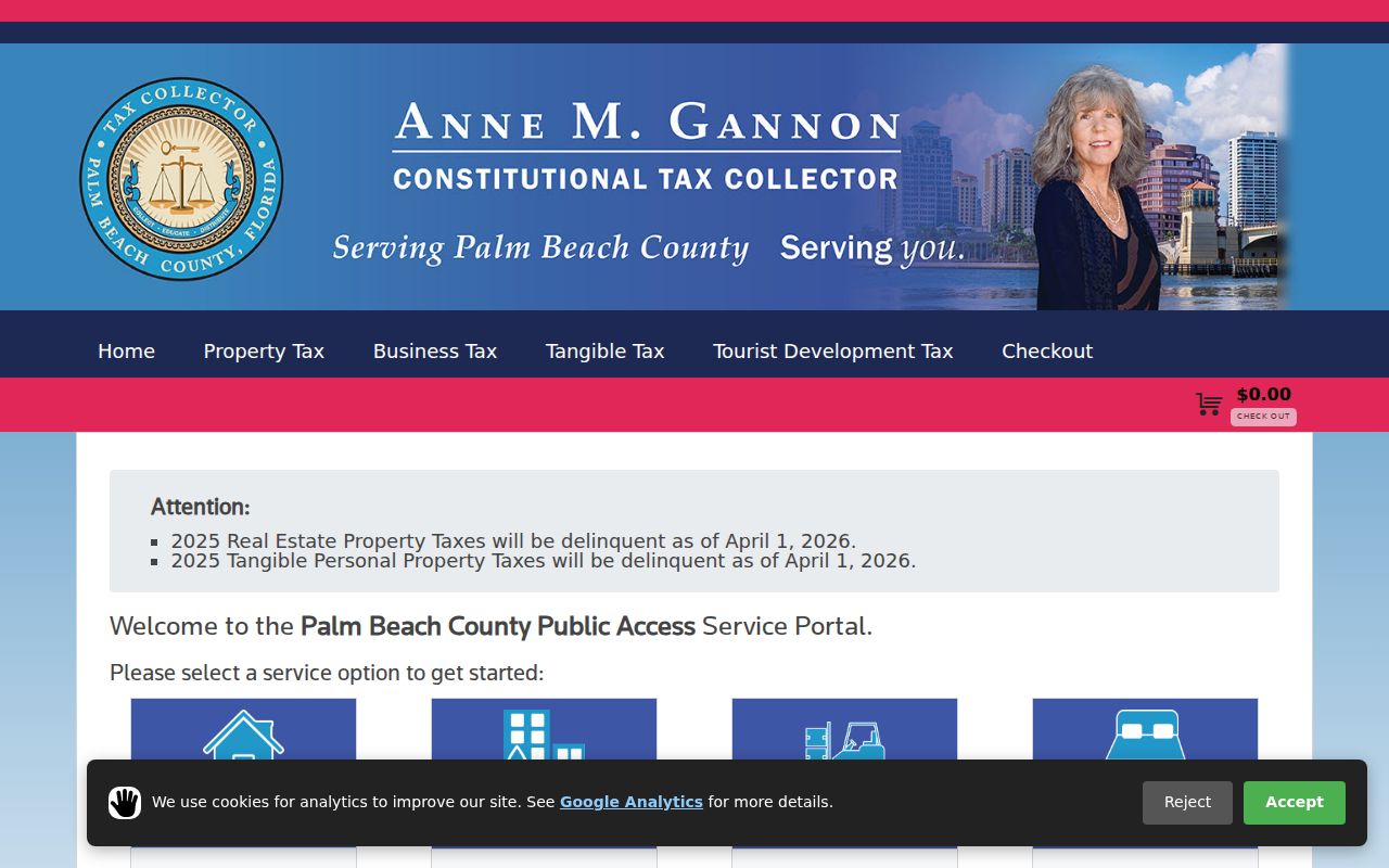
Its separate search modes show why tax status must be tied back to the correct parcel before it is added to a block record.
Search Palm Beach County Neighbors by Street Name
PAPA's Advanced Search can browse a street without a house number. Enter the street name, then narrow it with a municipality or ZIP when the name repeats. Results can supply a sequence of parcel records for both sides of a block. Copy each PCN and situs address rather than relying on the order in which results happen to appear.
The distinction between situs and mailing address matters here. Situs locates the parcel; mailing locates the tax notice. Compare the two, but do not turn that difference into a firm statement about who occupies the home. For an entire named road and its record chain, use the Palm Beach County Street Directory.
Map a Palm Beach County Block Parcel by Parcel
The adjacent-parcel method turns one known address into a limited block view. PAPA maps more than half a million parcels and links a map polygon to the related property record. myGeoNav adds address search and county geography. Map data are reference aids, not title proof.
The Property Appraiser GIS page explains how parcel mapping connects ownership records with county geography.
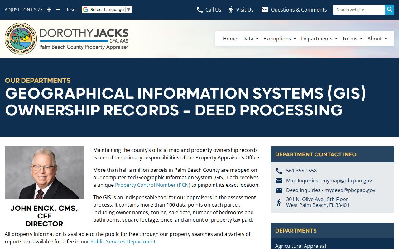
The GIS overview is the bridge from one known parcel to the polygons immediately around it.
- Search the anchor address in PAPA Map Search or myGeoNav and zoom to its polygon.
- Click the parcels on each side, across the road, and behind the target lot.
- Open each PCN in PAPA and record the owner, situs, mailing address, and qualified clues.
- Pan only as far as the immediate block needed for the personal or civic question.
Aerial and base layers help distinguish a canal, golf course, gated road, multifamily parcel, or vacant tract from a standard row of lots. Verify any critical boundary against the custodian's source record.
PAPA's map and the county myGeoNav viewer serve related but different tasks. PAPA ties a selected polygon back to assessment details, sales, exemptions, and the owner's tax-mail address. myGeoNav can place the same address among broader county layers. Start with the smallest useful radius so a canal, rear lot, condominium parcel, or large tract does not get mistaken for an immediate neighbor. Then save the PCN, not just a screen position, because the parcel number and legal description remain better bridges when a street label or postal designation changes.
The Palm Beach County Neighborhood Dashboard Adds Civic Context
The county's Neighborhood Information Dashboard accepts an address and organizes the result by municipality, commission district, precinct, services, schools, and nearby-road authority. That is useful in a county with 39 municipalities and broad unincorporated territory, where a postal place does not settle jurisdiction.
The dashboard says more about how a block connects to government than about who lives there. Use it to find the right municipal or county contact, then ask that custodian for the specific record. Confirm the result when a boundary line or recent annexation matters.
Palm Beach County CCRT Areas Form a Community Layer
The Office of Community Revitalization's Countywide Community Revitalization Team works across 85 neighborhoods, including 64 designated Urban Revitalization Areas. The research identifies areas such as Plantation, Limestone Creek, San Castle, Gramercy Park, Lake Worth West, Kenwood Estates, and Sandalfoot Cove.
CCRT meetings and OCR contacts are public civic channels, not resident rosters. They can help a newcomer identify a community name, local issue, or meeting route without implying that an association publishes member names.
The county CCRT overview identifies the public program behind this community layer.
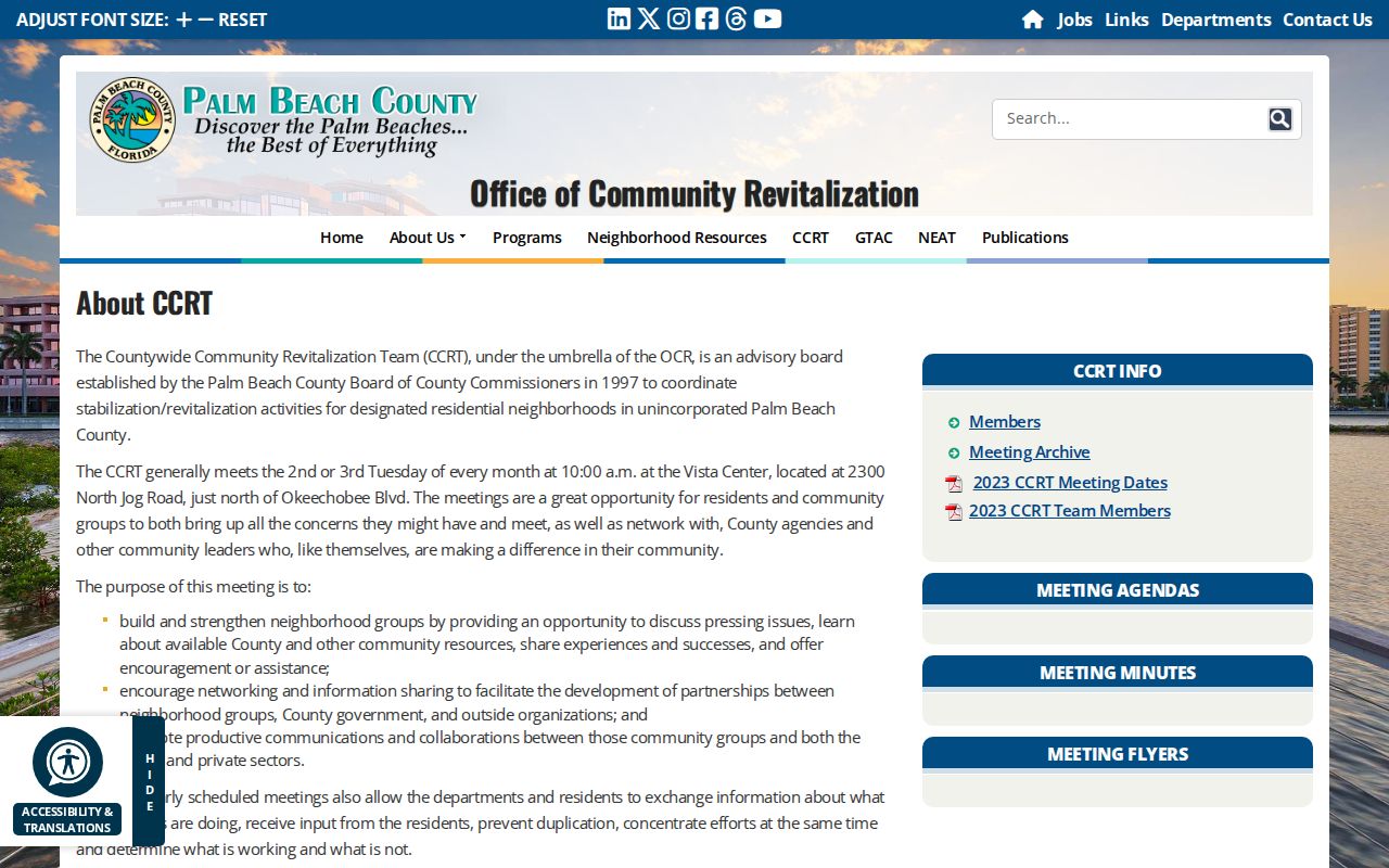
The program page connects named revitalization areas with meetings and county contacts rather than private household lists.
That distinction matters across a county stretching 2,023 square miles from the Atlantic through the Everglades to Lake Okeechobee. The Managed Growth Tier System recognizes urban and suburban areas as well as rural, agricultural, and Glades communities. A neighborhood name may describe a county planning area, a subdivision, an association, or common local usage. Check the dashboard's municipality, district, service, and road fields before deciding which public body represents the block.
| Community channel | What it provides | Contact route |
|---|---|---|
| Countywide Community Revitalization Team | Neighborhood coordination and public meetings | Office of Community Revitalization |
| Neighborhood Information Dashboard | Address-based districts and services | County dashboard |
| Municipal clerk or neighborhood office | Local association and meeting information when maintained | Use the municipality shown by the dashboard |
What Palm Beach County Voter Records Add to a Block
The Supervisor of Elections' My Status page verifies one voter with identifying data; it is not a browse-by-street directory. Broader voter information is generally public under Florida Statutes section 97.0585, but Social Security numbers, driver-license or state-ID numbers, and signatures are excluded. Qualifying voters may receive added protection.
A public extract or tailored file requires a records request. The statewide extract has an unusual delivery method: physical disk rather than email or download. The county Supervisor's NextRequest portal is the direct local request channel.
The Supervisor of Elections request portal shows how requests for public election records begin.
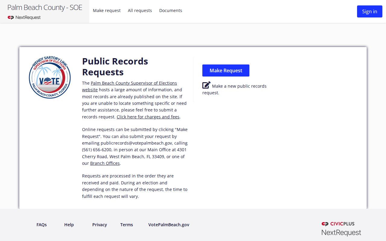
Any released file remains subject to statutory exemptions and should be used only for a lawful, focused purpose.
Official Sources and Commercial Neighbor Tools Differ
Official rolls explain where a fact came from and which office can correct it. Commercial neighbor tools may combine public and private data, but their match logic, update schedule, and source trail can be unclear. A polished result is not stronger evidence than a dated county record.
Official rolls
Best for parcel identity, recorded ownership, civic geography, and documented request rules. Each source has known limits.
Commercial category
May be convenient for leads, but can merge names, lag changes, or imply occupancy that the official source does not prove.
Historical Palm Beach County Neighbors Appear in Reverse
Selected R. L. Polk directories at the Main Library include verified volumes from 1916 through 1980-81. Their street or reverse sections can show listed adults at successive numbers and reveal how a block looked in one publication year. They are not complete population registers.
Pair a directory result with the 1920, 1930, 1940, or 1950 census and, for early Palm Beach or West Palm Beach blocks, a 1919 or 1920 Sanborn map. That combination separates an old address, a building footprint, and a named household into distinct layers of evidence.
The Palm Beach County Library genealogy desk is the fallback when a needed directory is not digitized. Ancestry Library Edition is available in a branch, while HeritageQuest can be used remotely with a library card. The Palm Beach Post Historical Archive reaches from 1916 to today and supports keyword, date, topic, full-page, and article browsing. For photographs, plans, diaries, maps, and manuscripts, the Historical Society archive in the restored 1916 courthouse accepts research appointments. These channels can explain who appeared around an older block without turning any one snapshot into a continuous household claim.
Privacy Boundaries for Palm Beach County Neighbors
Parcel rolls omit many renters, roommates, and family members. Utility, delivery, school, and private association records do not become public block directories. Florida's Address Confidentiality Program protects qualifying victims of domestic violence and stalking, while section 119.071 contains added exemptions for certain people and records. Motor-vehicle addresses are separately restricted.
Lawful use. Learn about your Palm Beach County block for civic awareness, reconnection, or personal safety. Florida Statutes section 784.048 prohibits stalking and harassment, so never watch, threaten, or intimidate a person.